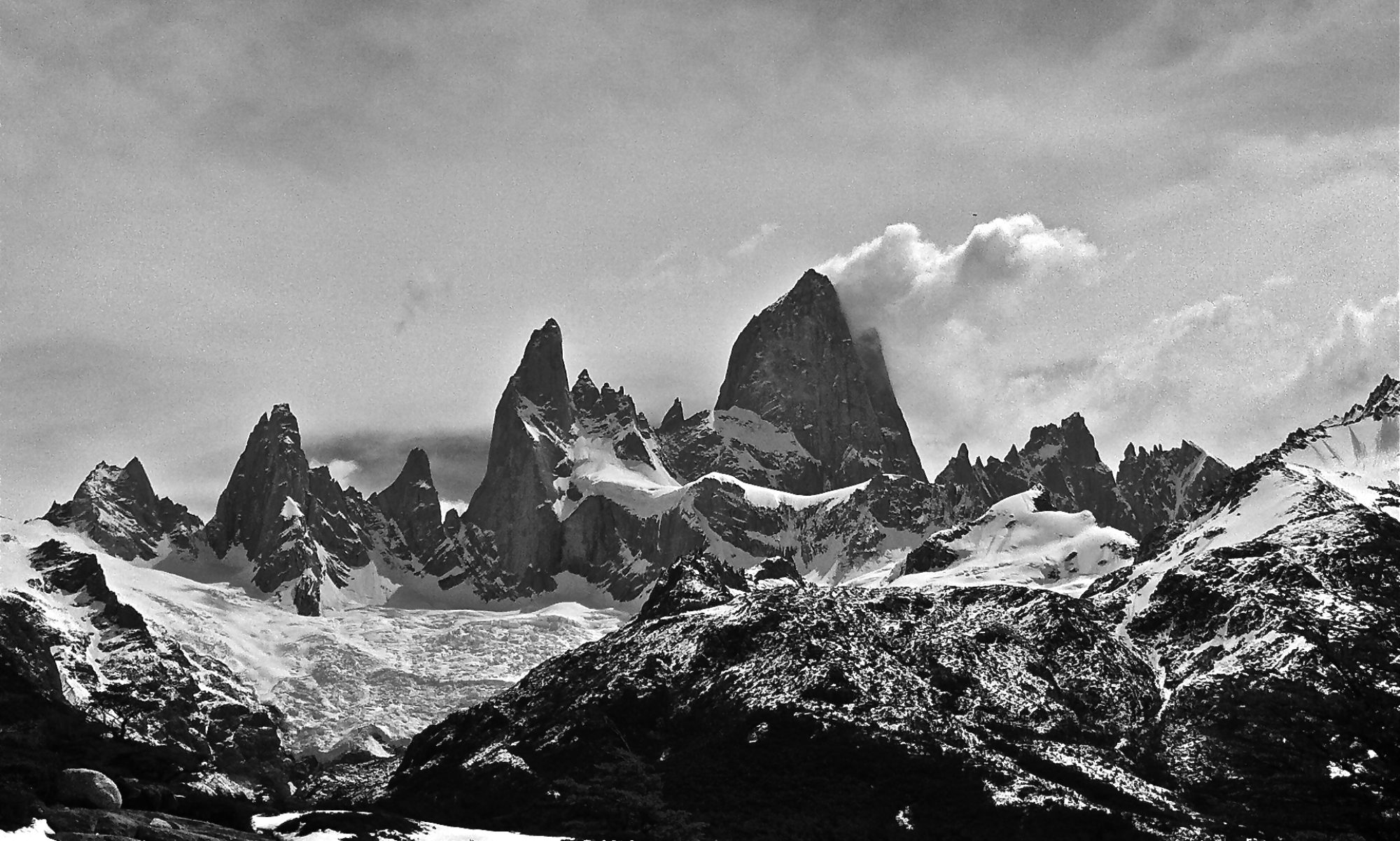
We took on our most ambitious hike of the trip so far with the Tongariro Alpine Crossing. It’s a day hike on one of New Zealand’s Great Walks and very popular. They’ve had over 4000 hikers complete it in a day. Monday wasn’t the greatest weather: overcast with showers predicted for the afternoon. We could have done it Tuesday, but the forecast wasn’t any better.
As we loaded into the shuttle to head to the trailhead, our driver gave us a debrief about the trail, the day’s conditions, and what to do in an emergency. She definitely wanted everyone to know that they were hiking a mountain pass and made sure we all had appropriate clothing, food and water.
The crossing is 19.4 km. It starts at 1120m and reaches a max elevation of 1886m and ends at 760m. That’s a climb of about 2500 feet. It typically takes six to eight hours. We started at 8:46a and there would be shuttles back to town at 2p, 3:30p and 5p (or whenever the last hiker arrived).
At the start:

A look back about 15 minutes into the hike.

A look up at the Devil’s Staircase, the first major climb of the hike. We’re heading into the clouds.


At the top of the Devil’s staircase, you cross a flat ash/sand crater for about 10 minutes before beginning the ascent to the top. It was getting windy and we started to see some hikers heading back. Leena asked why and they said it was too windy at the top. The 30-40 mph wind we were in? “This is nothing.”

We continued up and conditions got pretty gnarly. Winds were gale force, we were wet from the moisture of the cloud, and it was steep with very loose footing on the scree. I hung onto Leena through the most exposed and windy sections (I’m about twice her weight). Temperatures were in the low single digits Celsius (30s Fahrenheit). Neither of us had gloves so fingers were soon numb.

After the second major climb, you descend down loose scree for about 15 minutes into a crater. You pass Emerald Lake and Blue Lake. My picture of Emerald Lake didn’t come out, but here’s a look at Blue Lake.

You then have to climb back out of the crater, another cold, windy and exposed climb. As we began the descent, we came out of the clouds enough to get a few nice views.

There’s even a bit of blue sky!

The descent has lots and lots of staircases and a long walk through the forest.

We finished just after 3p and caught the 3:30p shuttle back to town.

At the end of the day, my iPhone health app gave me credit for 228 floors climbed, a new record.